ICEYE Raises Oversubscribed Growth Funding Round to Expand Global SAR Leadership
ICEYE Raises Oversubscribed Growth Funding Round to Expand Global [...]
ICEYE Raises Oversubscribed Growth Funding Round to Expand Global [...]
PIESAT International Information Technology Limited, a leading satellite operation and [...]
A new National Space Council, to be established later this [...]
AN OPPORTUNITY TO ENGAGE WITH A SECTOR ON THE MOVE [...]
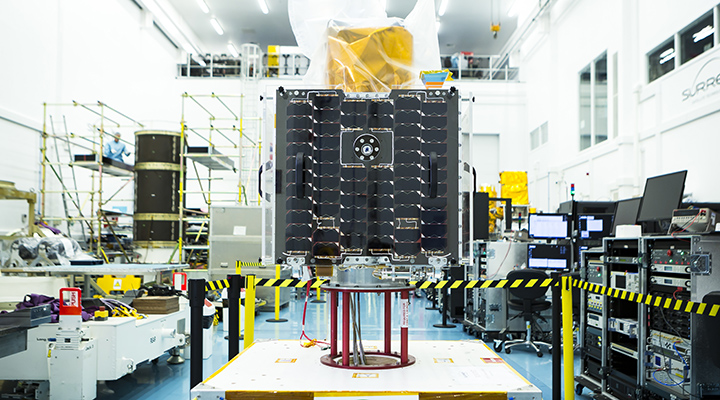
BARSC member and ‘New Space’ pioneer Earth-i today announced that [...]
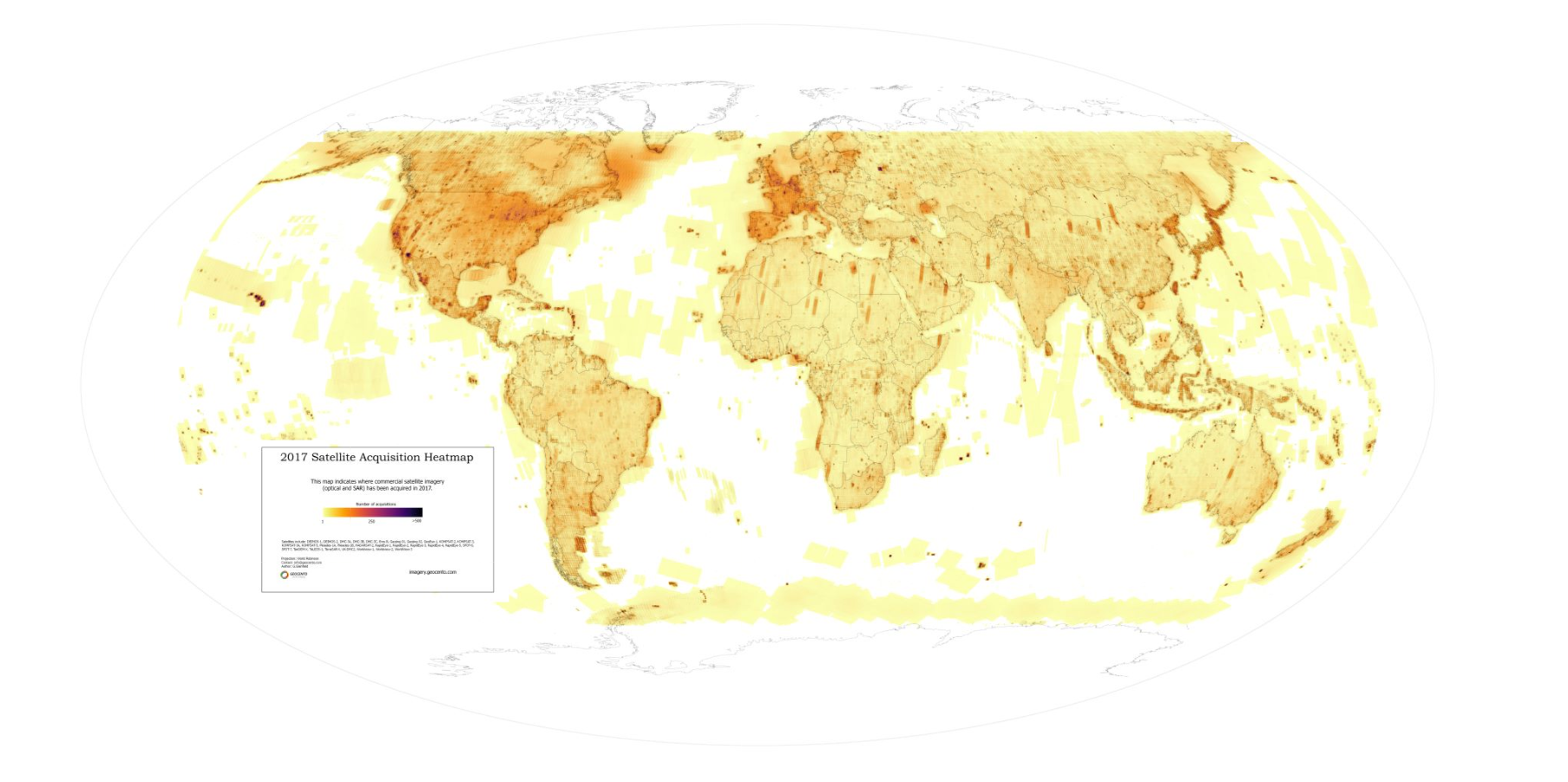
BARSC member Geocento dicuss the available commercial optical and radar [...]
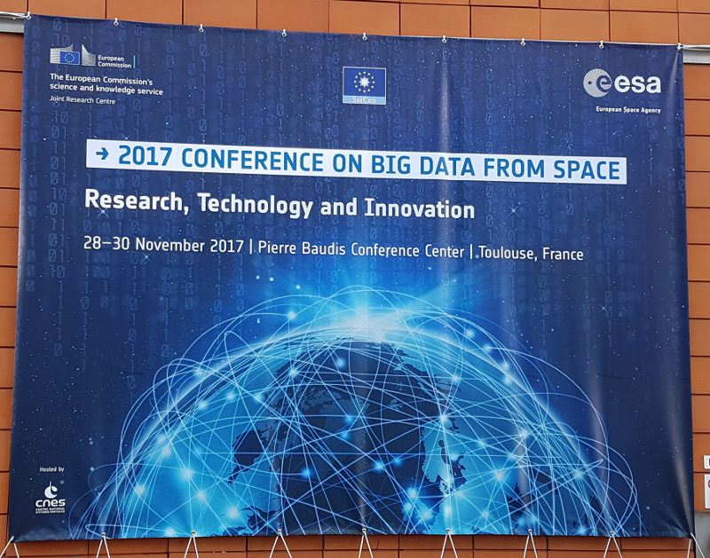
BARSC member Pixalytics discuss the 2017 Big Data from Space [...]
BARSC member Earth-i attended an informative day hosted by Equity [...]
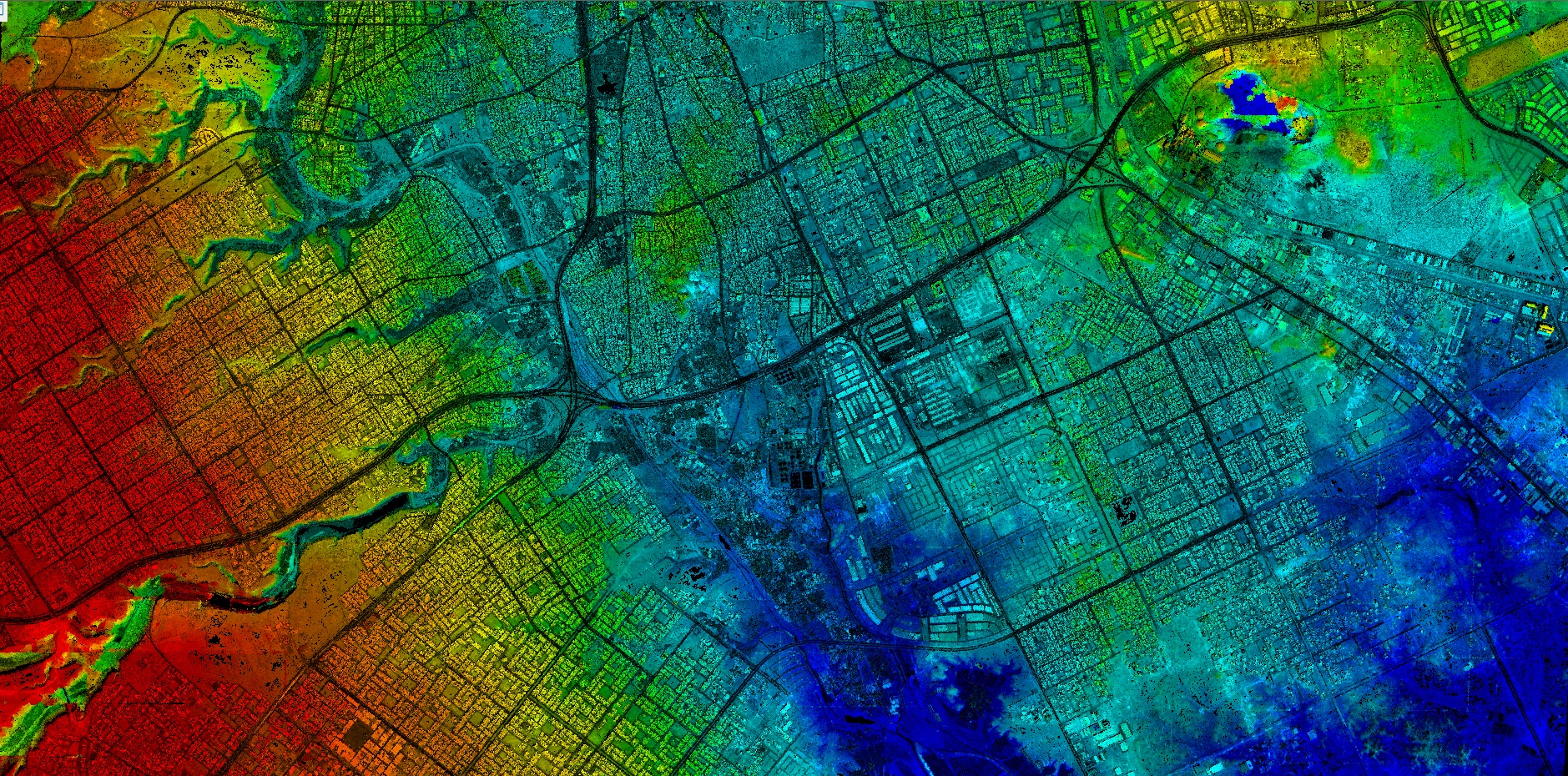
If you’ve spent much time in a large metropolitan area, [...]
BARSC member, The Satellite Applications Catapult, will be hosting a [...]
Website created by Quarry One Eleven