
HOW SPACE AND GEOSPATIAL INTELLIGENCE CAN HELP INDUSTRY AND GOVERNMENT TACKLE CLIMATE CHANGE
This unmissable event will showcase how location data collected on earth and images captured from space can help tackle climate change.
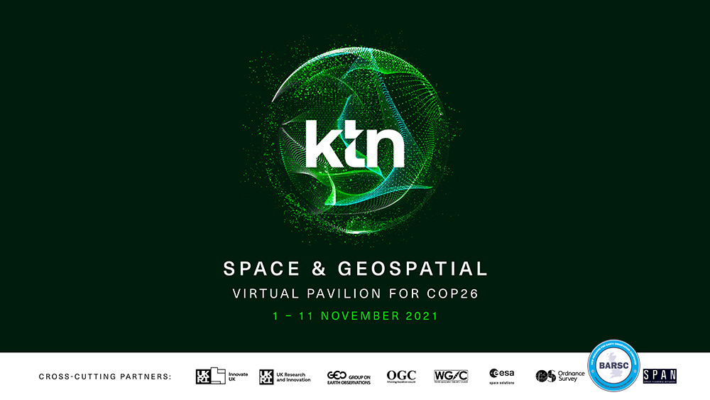
The free-to-attend Space and Geospatial Virtual Pavilion for COP26, from KTN, will take place from 1st to 11th November 2021.
The event will feature sessions from more than 30+ national and international partners including representatives from the UK’s Geospatial Commission and UK Space Agency, NASA, former Vice President of the United States, Al Gore, and Chief Executive of the Committee on Climate Change, Chris Stark.
Businesses from all sectors, from maritime to built environment, and security to nature, will have the opportunity to understand how innovative geospatial technologies and data can benefit them, by supporting the building of more climate resilient infrastructure and adapting to increasing frequency of extreme weather events.
Government representatives from the UK and abroad will join the discussion on how earth-observing satellites can be used to track greenhouse gas emissions with extreme precision and monitor the impacts of climate-based policy. They will also get the opportunity to connect with and see examples of the UK’s roster of world-leading space and geospatial industry SMEs.
Geospatial industry entrepreneurs and innovators will get all the information they will need on financing and commercialising their ideas and will have the opportunity to network with academics, SMEs, government and big business.
And geospatial professionals will be discussing the sectors approach to diversity, inclusion and equity in addition to opportunities for young geospatial and space professionals in research.
Space4Climate Chair, Beth Greenaway, UK Space Agency Head of Earth Observations and Climate, says: “The Space and Geospatial Virtual Pavilion for COP26 will allow global audiences to discover how the UK’s space community, in partnership with other countries, supports and accelerates the use of trusted climate data from space in decision-making to achieve net zero ambitions.”
Denise McKenzie from the Association of Geographic Information, says, “There has never been a point in human history when we have needed the art and science of geography more than we do today. The climate crisis is impacting every part of our planet and understanding where that is happening and where we can make changes to address the impacts is critical to solving the problem. The AGI is a thriving community of location data and geographic professionals committed to helping governments and businesses realise a sustainable future. We are proud to be partners in this virtual pavilion demonstrating the value and importance of geographic information for Climate and Sustainability.”
Prof. Andrew Holland, Chair of the Space Academic Network, says, “Space provides the vantage point to measure and monitor our planet, and space capabilities will be key to tackling climate change. The Space Academic Network is fully behind science enabled solutions to climate change.”
Luca Budello, Geospatial Lead at KTN added, “Climate Change is a great disruptor. It presents us with an opportunity to transition to a greener and more resilient economy. It provides us with an opportunity to put innovation capacity at the forefront of the roadmap to secure net zero by mid-century, adapt to protect communities and natural habitats, mobilise the trillion of dollars required to implement change and do this collaboratively.”
KTN is joined by the following key partners in shaping and supporting the delivery of the Virtual Pavilion: the UK Space Agency, Space4Climate, the Satellite Applications Catapult, Geospatial Commission, UKspace, Location Data Scotland, Scottish Space Leadership Council (through the University of Edinburgh), Association for Geographic Information (AGI), Esri UK, GHGSat, Sparkgeo, Satellite Vu, AAC Clyde Space, European Space Agency, UKRI, Innovate UK, Group on Earth Observations (GEO), Open Geospatial Consortium (OGC), World Geospatial Industry Council (WGIC), Ordnance Survey, the British Association of Remote Sensing Companies (BARSC), Space Academic Network, Room, Geospatial World, The Herald and AstroAgency.
Explore the full programme & register now: Space & Geospatial Virtual Pavilion for COP26