
Lidar Exposes Geology
The Washington Geological Survey, within the State Department of Natural Resources Survey have created a stunning Esri Story Map to present the work they have done with Lidar
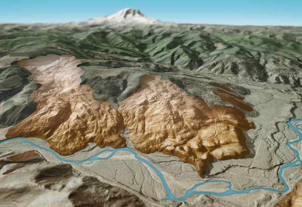 For geologists, Lidar is an invaluable tool that enables them to see and study large areas of the earth’s surface, particularly in places where trees and vegetation obscure the landscape.
Lidar (light detection and ranging) is a technology that uses light pulses to collect three-dimensional information.
Lidar data is often collected from an airplane using a laser system pointed at the ground. The system measures the amount of time it takes for the laser light pulses to reach the ground and return. Billions of these rapidly-collected measurements (points) can create extremely detailed three-dimensional models of the Earth’s surface.