About BARSCwebAdmin
This author has not yet filled in any details.
So far BARSCwebAdmin has created 506 blog entries.
BARSCwebAdmin2020-05-20T09:29:01+00:00
KORE, a new web platform to revolutionise land use, presented at Agritechnica 2017BARSCwebAdmin2020-05-20T09:29:01+00:00
BARSCwebAdmin2020-05-20T09:29:01+00:00
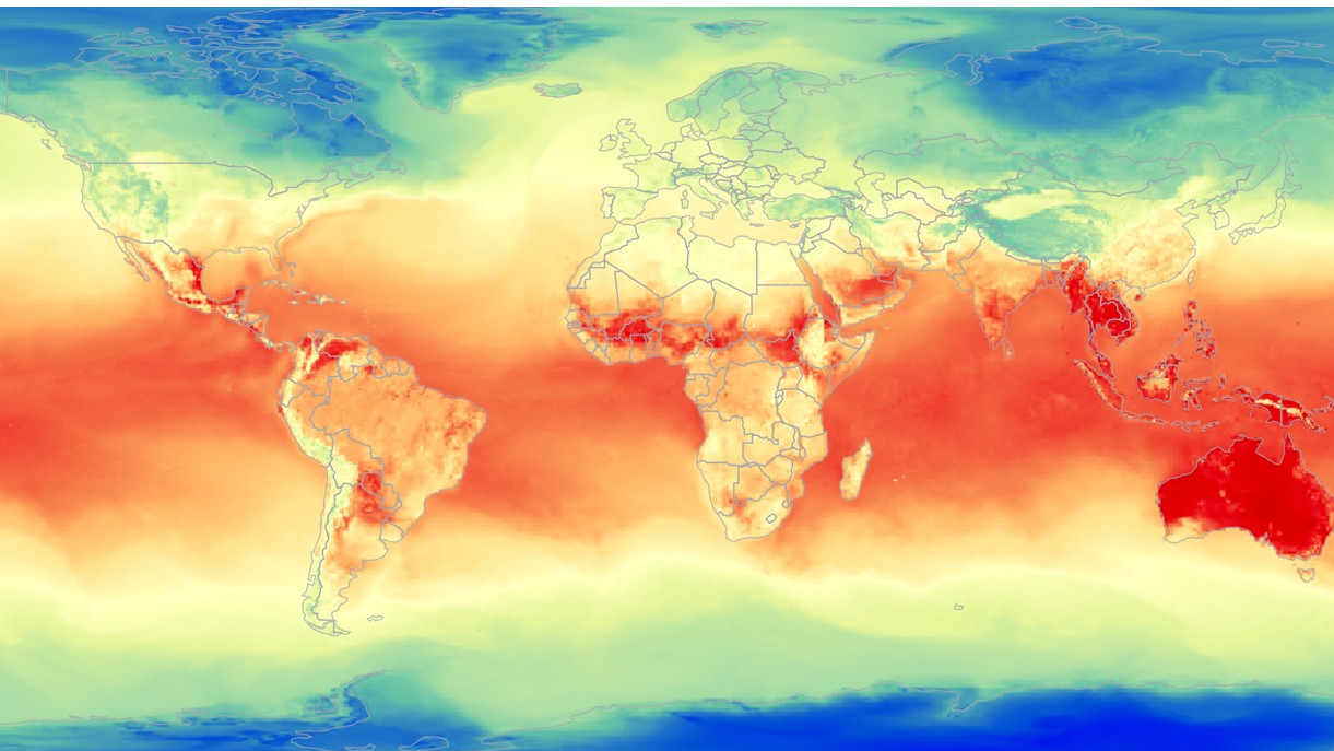
First Release of European Climate Data HubBARSCwebAdmin2020-05-20T09:29:01+00:00
BARSCwebAdmin2020-05-20T09:29:01+00:00
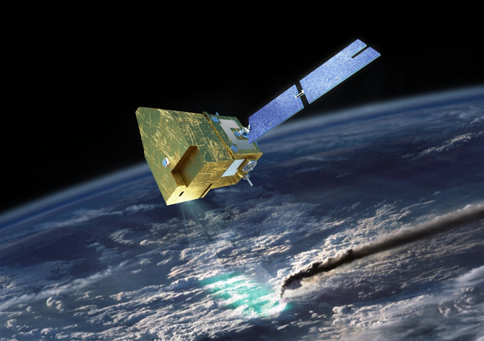
Call for Expressions of Interest for UK contribution to MicroCarb Payload Data Ground SegmentBARSCwebAdmin2020-05-20T09:29:01+00:00
BARSCwebAdmin2020-05-20T09:29:01+00:00
Catapult SmallSat Market Report Shows Strong Growth and Bright Future For UK Space IndustryBARSCwebAdmin2020-05-20T09:29:01+00:00
BARSCwebAdmin2021-07-28T15:21:59+00:00
Two Days in Space and ScotlandBARSCwebAdmin2021-07-28T15:21:59+00:00
BARSCwebAdmin2020-05-20T09:29:02+00:00
Announcement of new ESA Kick-Start Competition on Commercial Climate ServicesBARSCwebAdmin2020-05-20T09:29:02+00:00
BARSCwebAdmin2020-05-20T09:29:02+00:00
Airbus Apprenticeship Information EventBARSCwebAdmin2020-05-20T09:29:02+00:00
BARSCwebAdmin2021-07-28T15:21:59+00:00
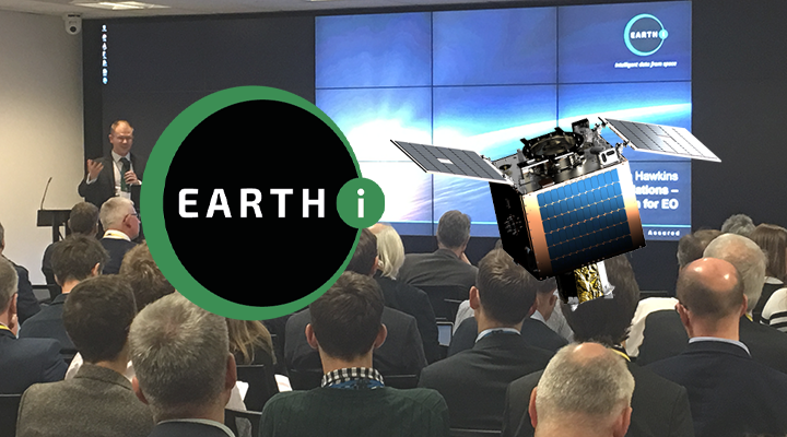
Turn Your Data into Actionable Information & Confident DecisionsBARSCwebAdmin2021-07-28T15:21:59+00:00
BARSCwebAdmin2020-05-20T09:29:02+00:00
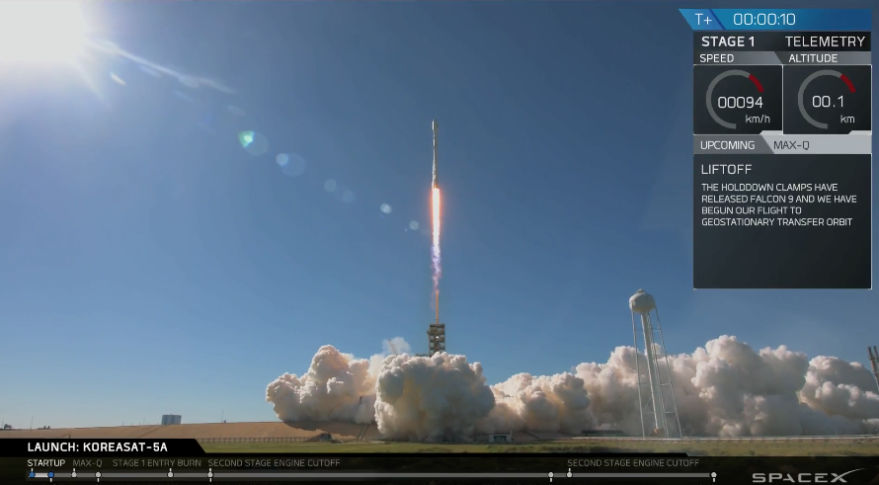
SpaceX ties ULA’s annual launch record with 16th launch this yearBARSCwebAdmin2020-05-20T09:29:02+00:00
BARSCwebAdmin2020-05-20T09:29:02+00:00
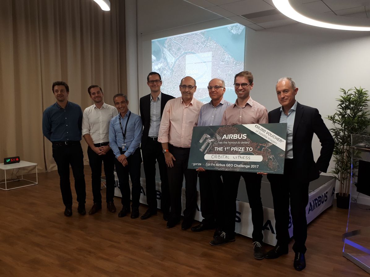
Orbital Witness wins Airbus’ Global Earth Observation ChallengeBARSCwebAdmin2020-05-20T09:29:02+00:00